Building The Complete
Source of Truth For
Infrastructures & Mining Risk
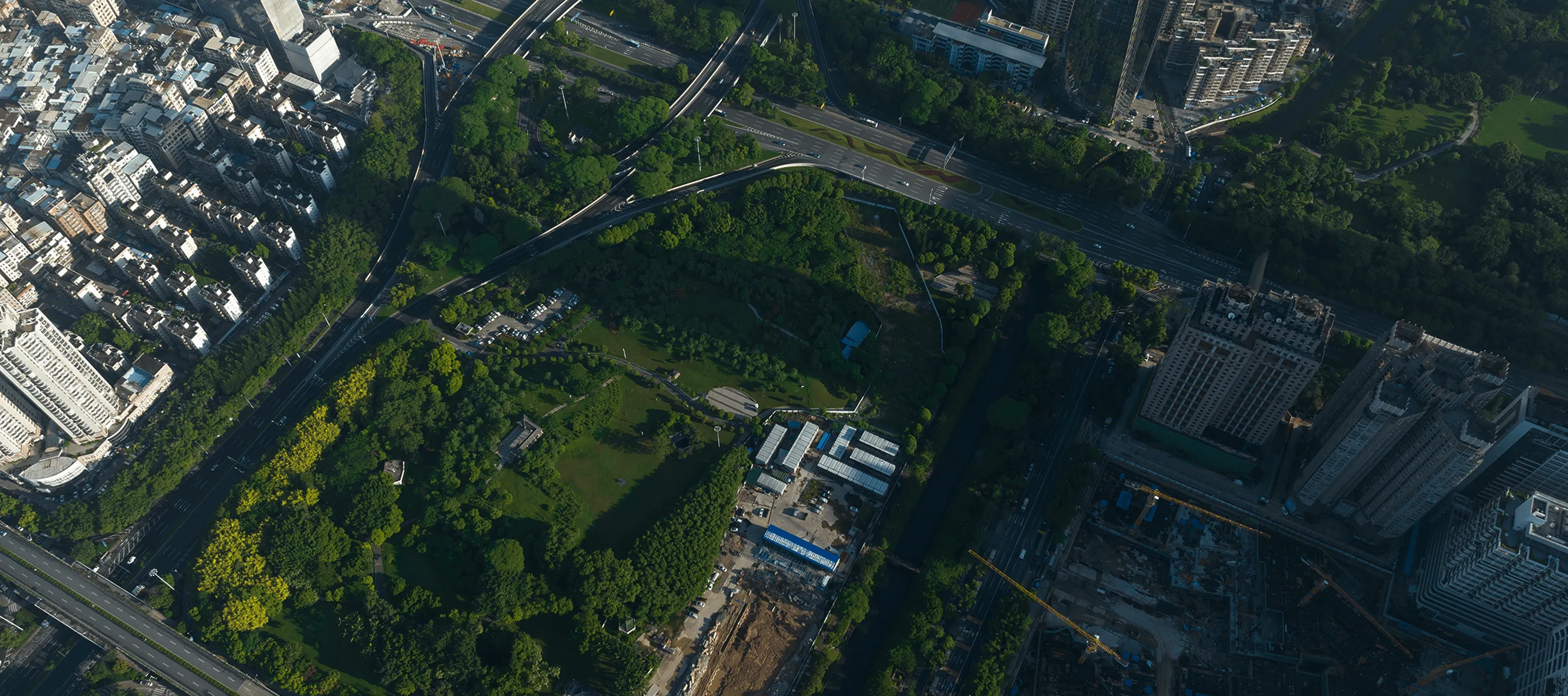
Les incidents d'affaissement du sol se sont accélérés en raison des changements induits par le climat. Environ 25 % de la population mondiale vit dans des régions à risque.

Our Journey Through The Years
Where it all began
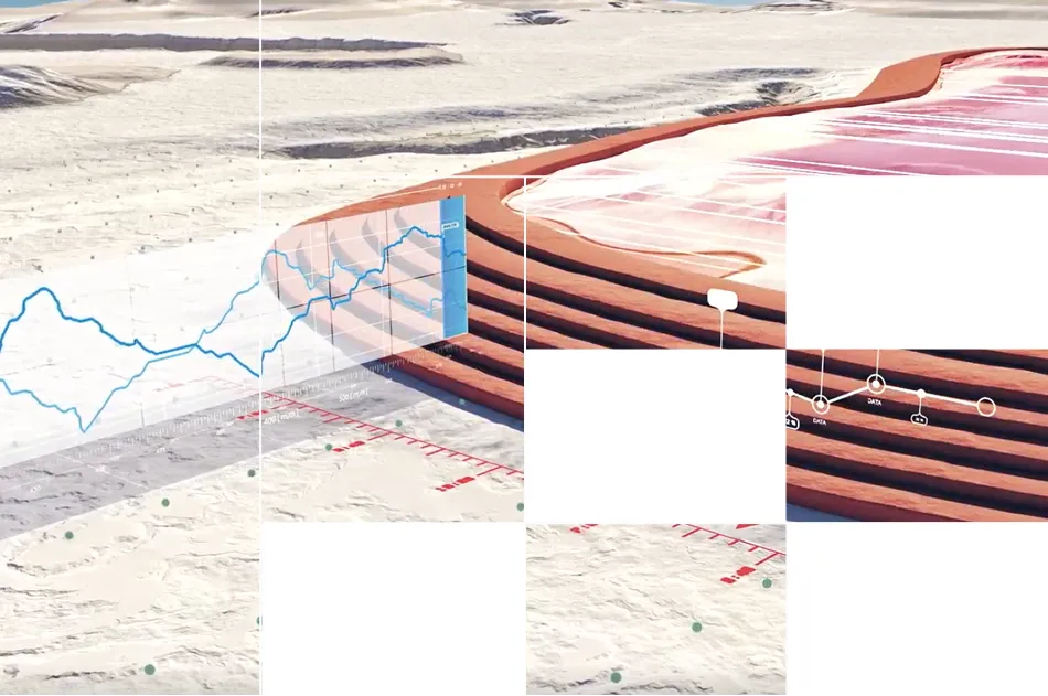
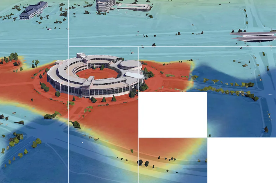
We started by monitoring ground deformation for critical infrastructure: data centers, mine sites, highways, energy projects. Global leaders in mining, engineering, and insurance trusted our millimeter-precision InSAR analysis to tell them what was happening underground.
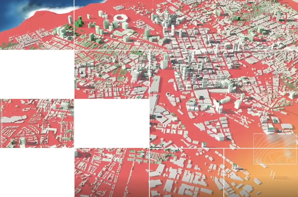
Monitoring $100B+ in assets
We have helped monitor billion-dollar sites from hyper-scale data centers in complex geology to tailings dams in difficult mining regions and the most remote highways in landslide-prone regions.
The bigger Challenge
Working inside real site assessments and risk mitigation workflows, we saw the real bottleneck. Geotechnical and risk engineers spend weeks manually hunting multi-modal data, reports, and records to evaluate one site.
There isn't enough human bandwidth to connect the dots. Racing to meet deadlines, rigor becomes the trade-off.

How we’re fixing it
What if you never had to choose between speed and rigor again?
That's why we built TRAIL, an AI-native platform that aggregates all your data and additional KorrAI evidence layers to help you run automated expert analyses to surface risks remotely.
Notre équipe de constructeurs et de conseillers

.webp)
.png)


.png)


.svg)
Surveillance de 5 millions de km2 et 100 G$ d'actifs essentiels en Amérique du Nord et en Europe
Réservez une réunion avec notre équipe


.webp)


.svg)
Abonnez-vous à notre infolettre
.webp)