Building The Complete
Source of Truth For
Infrastructures & Mining Risk
Los incidentes de hundimiento del suelo se han acelerado debido al cambio inducido por el clima. Alrededor del 25% de la población mundial vive en zonas geográficas en riesgo.

Our Journey Through The Years
Where it all began
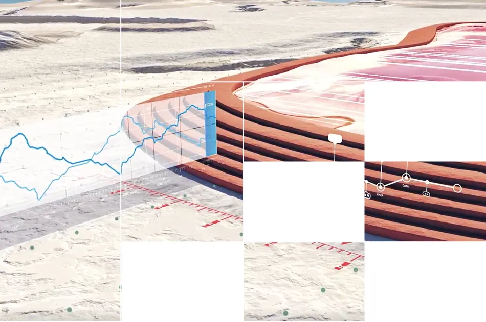
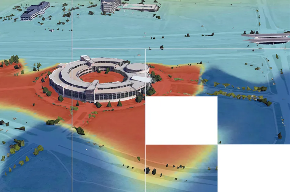
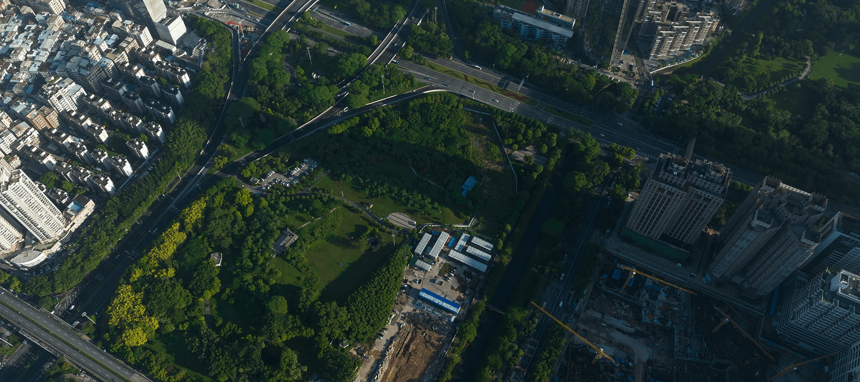
We started by monitoring ground deformation for critical infrastructure: data centers, mine sites, highways, energy projects. Global leaders in mining, engineering, and insurance trusted our millimeter-precision InSAR analysis to tell them what was happening underground.
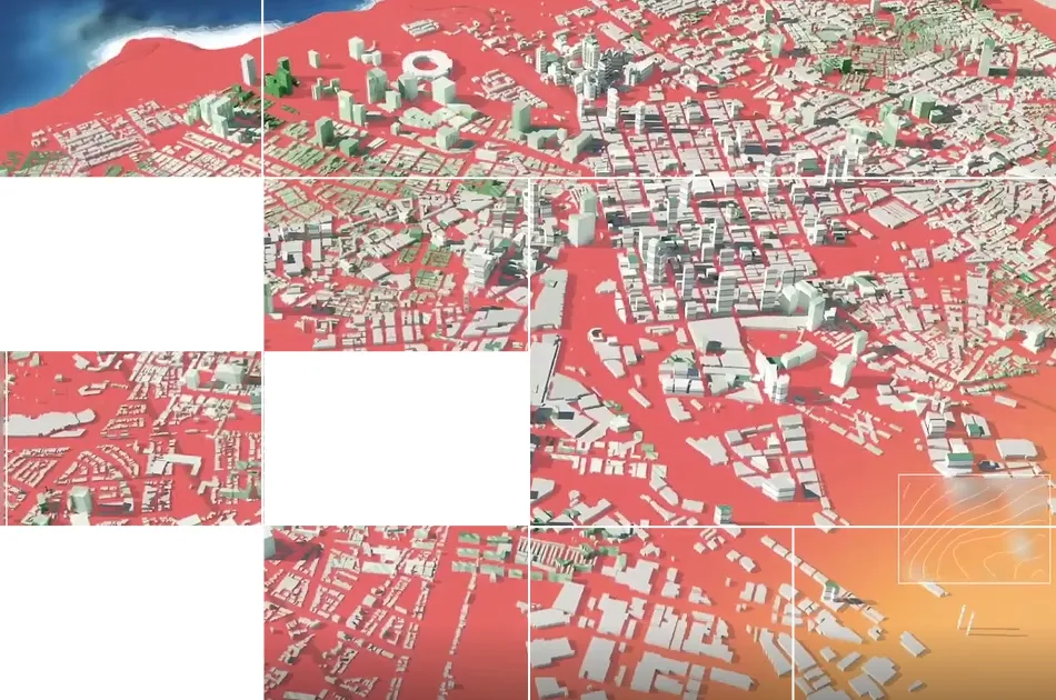
Monitoring $100B+ in assets
We have helped monitor billion-dollar sites from hyper-scale data centers in complex geology to tailings dams in difficult mining regions and the most remote highways in landslide-prone regions.
The bigger Challenge
Working inside real site assessments and risk mitigation workflows, we saw the real bottleneck. Geotechnical and risk engineers spend weeks manually hunting multi-modal data, reports, and records to evaluate one site.
There isn't enough human bandwidth to connect the dots. Racing to meet deadlines, rigor becomes the trade-off.

How we’re fixing it
What if you never had to choose between speed and rigor again?
That's why we built TRAIL, an AI-native platform that aggregates all your data and additional KorrAI evidence layers to help you run automated expert analyses to surface risks remotely.
Nuestro equipo de constructores y asesores

.webp)

.png)


.png)


.svg)
Monitorización de 5 millones de kilómetros cuadrados y 100 000 millones de dólares en activos críticos en Norteamérica y Europa
Reserve una reunión con nuestro equipo


.webp)
.png)


.svg)