
Couches de preuves : données géolocalisées pour l'évaluation des risques
Chaque couche est un ensemble de données ancré géographiquement (données spatiales, observations ponctuelles, séries chronologiques ou conclusions interprétées) qui saisit une facette des conditions du site.
La moitié des preuves concernant votre site ne figure pas sur une carte. Elles sont enfouies dans des documents.
TRAIL lit chaque rapport, dossier, courriel et feuille de calcul généré par un site, puis les intègre dans une ontologie de site que vous pouvez interroger.
Prêt à voir TRAIL en action?
.png)
Conçu pour
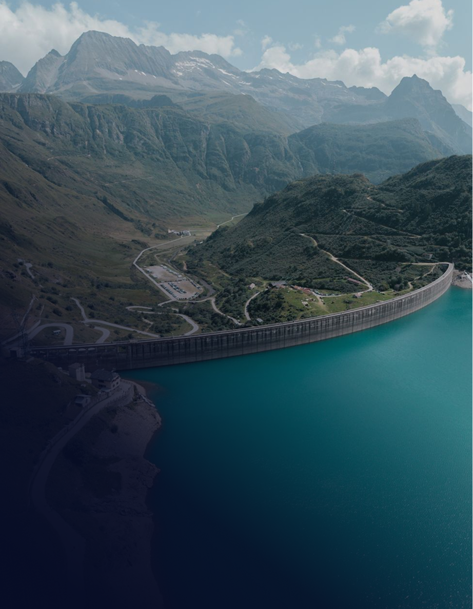
Ministères des Transports, autorités de sécurité des barrages et de fermeture, et propriétaires d'actifs publics. Une couche de données probantes indépendante et traçable pour l'ensemble de votre portefeuille.
Les propriétaires de mines, d'installations énergétiques et d'infrastructures assument une responsabilité pendant des décennies. Centralisez les risques de chaque actif dans un seul endroit fiable, de l'exploitation jusqu'à la fermeture.
Entrepreneurs et équipes de gestion des risques de construction sur des projets d’un milliard de dollars. Vérifiez les conditions du sol et l’avancement des travaux à distance, avec un registre horodaté.
Équipes géotechniques et ingénieurs responsables réalisant des études et des examens. Couvrez plus de sites sans épuiser vos ressources et appuyez chaque constatation sur des sources.
Souscripteurs évaluant le capital d’infrastructure et surveillant l’exposition. Un registre objectif et lié aux sources pour la diligence raisonnable et les réclamations.
Découvrez TRAIL dans le cadre d’un projet de fermeture ou de sécurité des barrages.
Présentez-nous un site qui vous pose problème ou laissez-nous vous guider à travers un projet que nous connaissons bien. Nous vous montrerons comment TRAIL et notre équipe soutiennent les projets miniers et d’infrastructure.
.png)
PDG et cofondateur
.png)
Directeur des revenus et cofondateur
Foire aux questions
Envoyez-nous un message
Nous vous répondrons dans un délai de 48 heures.
.webp)


.svg)
.svg)
.svg)
Abonnez-vous à notre infolettre
.webp)