Executive Summary
KorrAI was engaged by a data center operator and their geotechnical engineering partner company to support site selection and foundation planning in challenging geological conditions. For confidentiality, this engagement is referred to as Project Anchor.
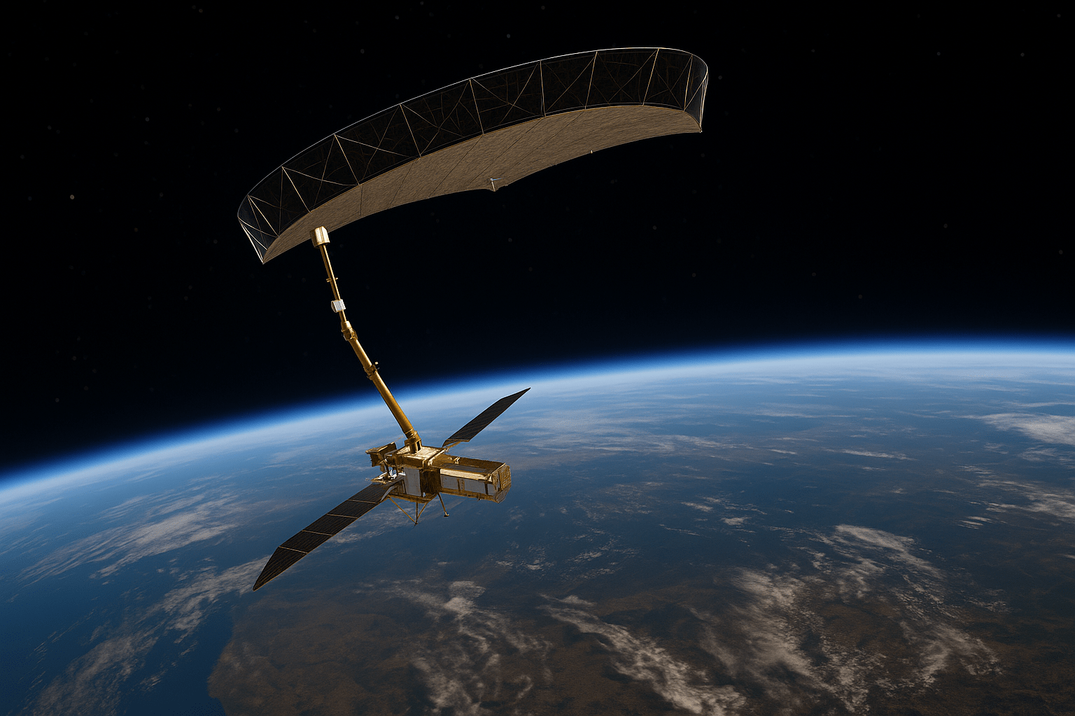
Developing data centers in complex geology, like karst terrain, requires understanding ground stability. Traditional methods often fall short for large sites. Project Anchor needed comprehensive historical ground movement data for multiple sites to de-risk site selection and design. KorrAI provided this using advanced satellite InSAR analysis, identifying key subsidence/uplift trends for proactive risk management.
Context
Anchor involved evalution of potential data center sites, some in areas with challenging geology (e.g., karst), posing risks like unpredictable settlement or sinkholes. Assessing ground stability reliably across these large areas was crucial before major investment.
Challenge
Traditional methods like boreholes provide only point data, potentially missing broader ground movement trends across large sites, and can be costly. Anchor needed a solution for:
- Mapping historical ground deformation (subsidence/uplift) site-wide.
- Pinpointing zones with concerning movement rates impacting planned structures.
- Understanding movement relative to geological features (karst, wetlands).
- Obtaining actionable data for feasibility, targeted investigation, and foundation design.
Solution
KorrAI applied satellite InSAR to analyze historical ground movement:
- Historical View: Used multi-year satellite data (e.g., 2 vs. 7 years) for long-term and recent behavior.
- Precision: Processed data with proprietary algorithms for millimeter-level deformation detection over wide areas.
- Trend Mapping: Visualized subsidence and uplift patterns over time.
- Change Detection: Compared time periods to identify stable, accelerating, or decelerating movement.
- Risk Correlation: Linked movement data to proposed infrastructure locations and site features.
Impact
KorrAI's InSAR analysis significantly benefited Project Anchor, delivering results in just 3–4 days, a timeline that continues to improve. This rapid turnaround enabled Anchor-Engineering partner to make faster, more informed decisions for their project planning.
- Site-Wide Overview: Provided clear ground stability maps, highlighting potential issues missed by traditional methods.
- Focused Risk ID: Identified specific subsidence/uplift zones impacting planned facilities, which included potential risks like sinkholes and wetlands.
- Targeted Investigation Planning: Enabled a more precise geotechnical drilling and borehole strategy by identifying areas with significant or accelerating ground movement.
- Quantified Insights: Measured movement rates, crucially identifying areas with accelerating subsidence needing priority investigation.
- Data-Driven Decisions: Enabled objective site risk comparison, optimized layouts, and targeted ground investigation planning.
- Enhanced Confidence: Reduced uncertainty and future costs from unforeseen ground instability.
- Comprehensive Risk Coverage: Identified areas where a more thorough movement survey needs to occur or where mitigation may be required due to potential ground instability.

Conclusion
Proactive ground stability assessment is vital for critical infrastructure. KorrAI's satellite InSAR offers invaluable, non-intrusive, wide-area historical ground movement intelligence. This demonstrates how InSAR aids effective geotechnical risk management in complex environments, informing site selection and design, and boosting investment confidence.
The solution is also highly scalable for analyzing numerous sites across several geographies, rapidly and at lower cost than traditional means.
Rob dirige el desarrollo de productos en KorrAI, donde se especializa en InSAR, teledetección y análisis geoespacial impulsado por AI. Con experiencia en geología y ciencia de datos, ha trabajado en exploración, minería y análisis basados en sistemas de información geográfica. Apasionado por la tecnología y la creatividad, disfruta de la fotografía infrarroja, la música y los proyectos prácticos de carpintería y automatización.
Suscríbase a nuestro boletín
.webp)

.png)


.png)


.webp)


.svg)