
Ground Deformation Monitoring Calibrated For Precision
We have enhanced InSAR’s reliability by calibrating satellite data with public and proprietary ground-based GNSS sensors to deliver millimeter-level accuracy.





Our Ground Monitoring Tech Stack
%20(1).webp)
InSAR relies on satellite-based radar signals to measure ground deformation by analyzing signal reflections over time. Our sophisticated data processing algorithms process data from several satellites and monitor for ground movement.
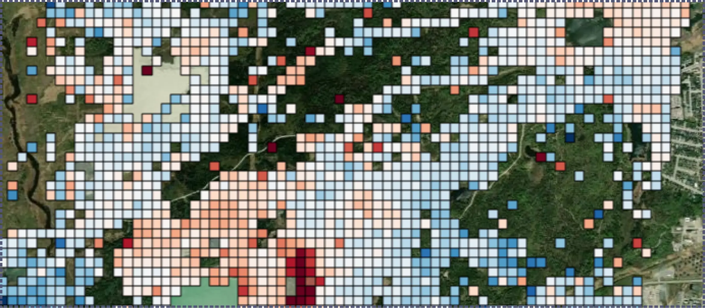
Our cloud-scalable persistent scatterer system tracks stable ground features across long acquisition stacks, so random noise averages out and slow trends become measurable.
.webp)
We install and maintain ground hardware on site, then calibrate the satellite record against it, making displacement absolute rather than relative to an assumed reference.
.webp)
Deformation is reasoned against groundwater, soils, design records and inspections on our TRAIL platform. Our experts interpret it, so findings arrive explained rather than as processed data.
Advised by SAR Experts
.webp)


Three Situations We Build For
Most teams arrive at Satellite-InSAR for one of three reasons, and the configuration differs in each case.
Establish a Baseline
We turn decades of public satellite radar archives into a ground-behavior record to support stakeholder due diligence before any build activity begins.
Explain the Movement
Where settlement or lift is visible, but the cause is contested, we combine deformation with soils, groundwater, extraction, and other data to identify the cause.
Extend the Monitoring Reach
Sites that are remote, hazardous, or spread across a portfolio can be measured without a crew on the ground, at the cadence the satellite constellation allows.
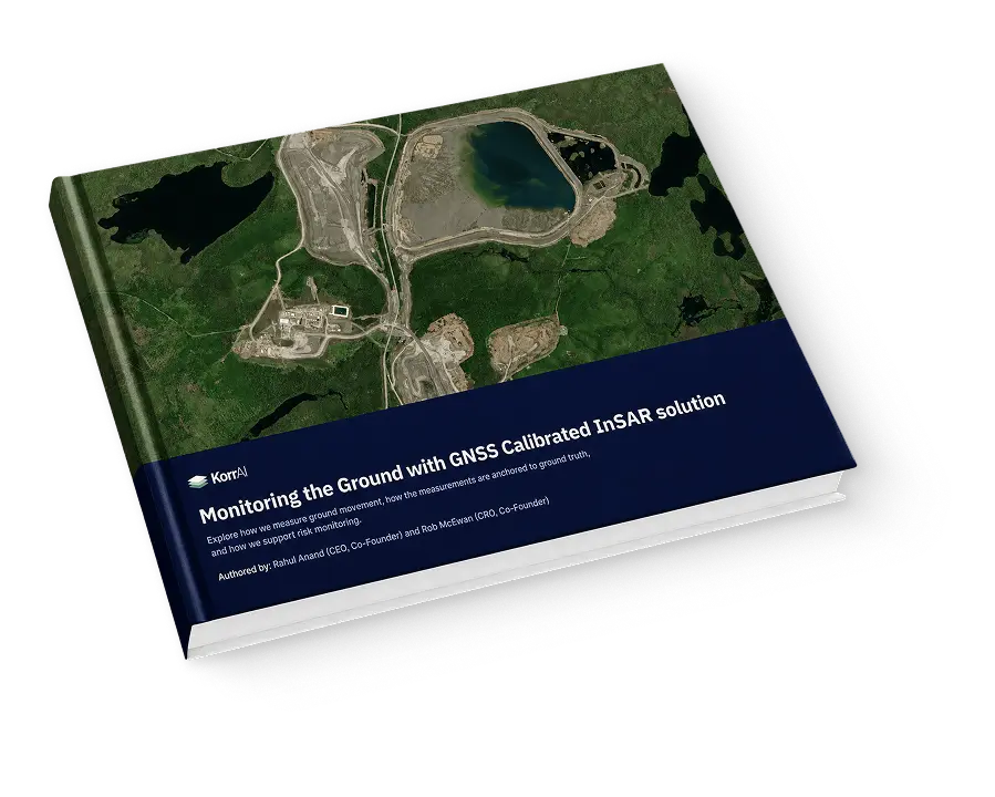
What InSAR Supports, and What It Doesn't.
Matching the Data to the Asset
Precision does not change with cell size. A 10 metre cell still measures movement to the millimetre. What changes is knowing what moved.
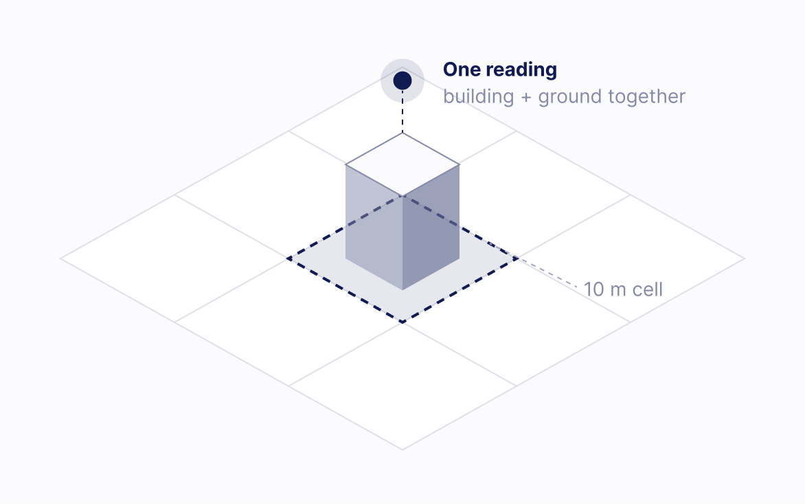
Movement measured, source unclear
Something inside the cell moved, but not which thing. Right for subsidence bowls, embankments and settlement across a parcel.
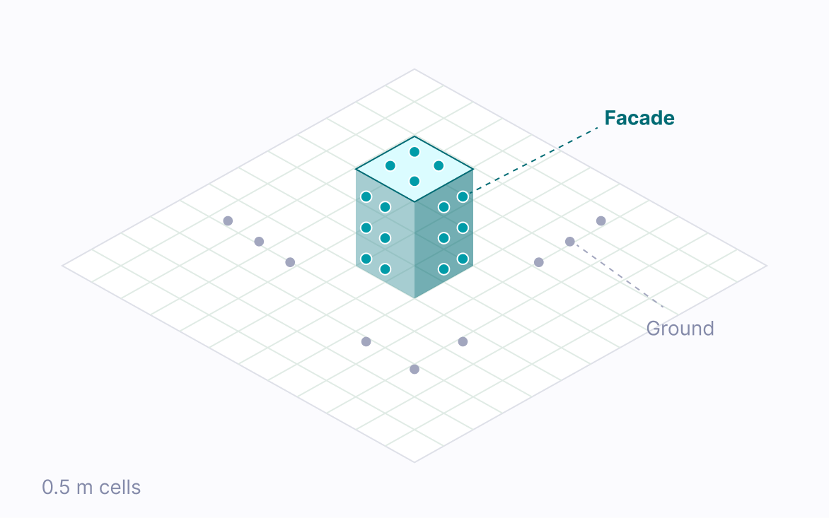
Movement attributed to the facade
The structure and the ground beside it read as separate targets. Needed for piers, headframes and building faces.
Public and tasked data
The public C band archive covers the years before monitoring began. Where finer detail is needed, we task commercial acquisition down to 0.5 metre.
Band and orbit
C band for bare terrain, X band for fine detail, L band through vegetation. Two orbit directions separate vertical from east west movement.
A Deformation Map Is Not Yet Actionable.
Reports and visualisations made available via our TRAIL platform. Assessments are interpreted by our in-house InSAR experts, so that every insight is actionable.
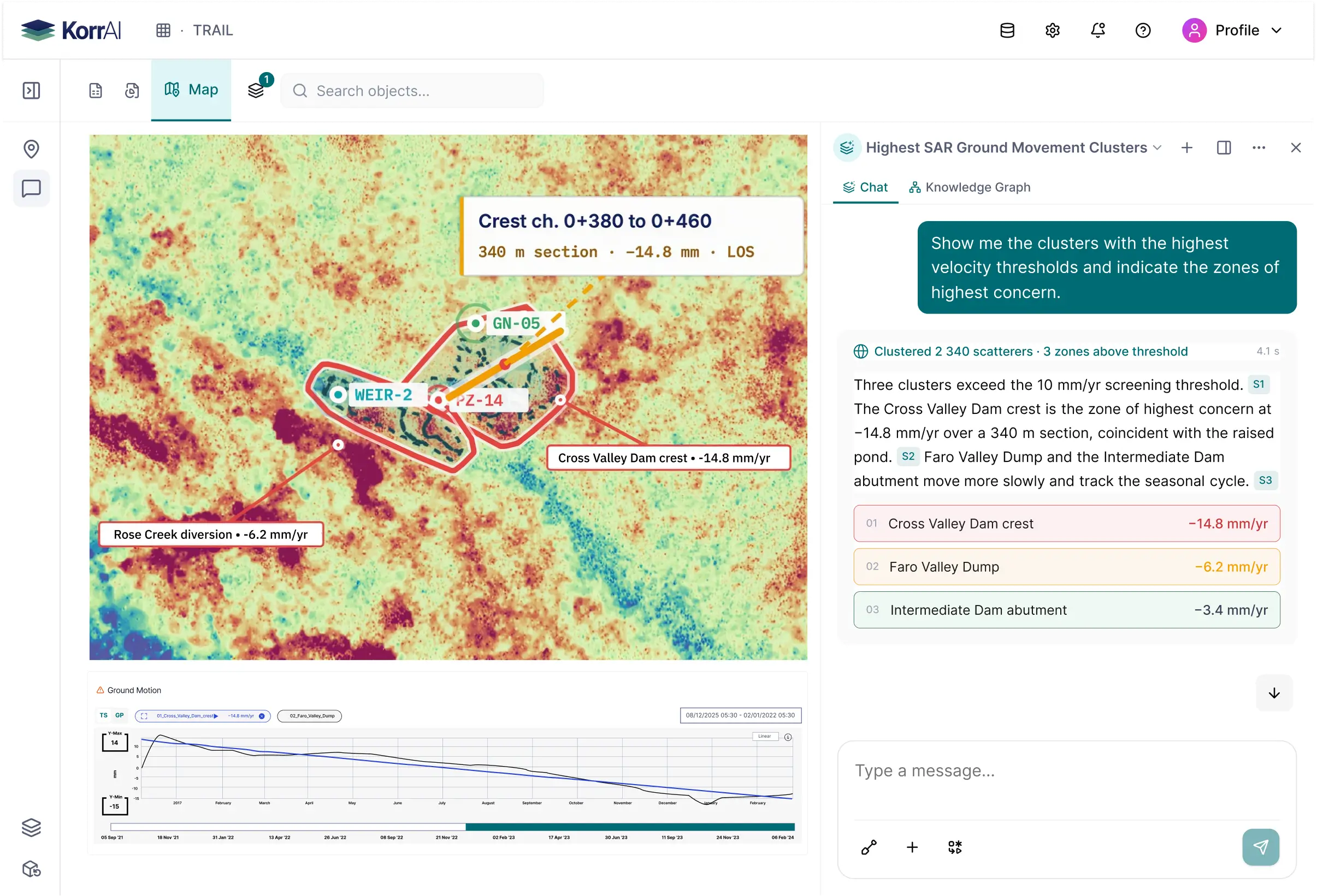
Working with Deformation Data in TRAIL
.webp)
Analyse subsidence trends
Trends assessed across the site, with areas of concern flagged for review.
.webp)
Cross reference the evidence
Patterns read against soil boring logs and geotechnical reports.
.webp)
Assess temporal behaviour
Whether movement is accelerating, stable or seasonal.
.webp)
Trace every finding
Back to the specific InSAR time series and sensor validation data.

We're Solving the Greater Bottleneck of Risk Data.
Take a look at our Risk Intelligence workspace that helps organize traceable evidence for holistic site risk reporting & Mitigation.
Speak with our team of experts





.webp)


.svg)
.svg)
.svg)
.webp)