
AI for Power Plant Risks
Geotechnical Assessment for Energy Infrastructure
Assess site conditions that help construction and operational risk mitigation with auditable decisions.
Trusted by utility-scale developers, power producers, and utilities.

Ready to see TRAIL in action?

Power Plant Sites Have No Collective View of Risks

Due diligence, construction and operations each study physical risk, but what one phase learns rarely carries into the next.

Evidence is often unstructured, and findings get lost with time. Someone has to pull the pieces together.

One campus spans hundreds of acres. As portfolio grows, there’s limited expert bandwidth to assess site conditions.

Of US utility-scale solar acreage is at risk for soil-health problems, and 29% for increased erosion, across more than 13,900 sites.
Of solar losses by damage amount come from hail, which is 6% of loss incidents. For onshore wind and solar projects, 48% of construction losses are from NatCat and extreme weather.
Infrastructure vacancies open each year as veterans leave their jobs through 2031, and 33% of engineering firms now turn down work because they do not have the staff.
Where Our Solution Helps
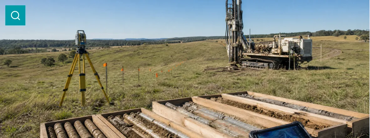
Assemble a cited baseline of site conditions that design, lenders, and technical advisors can all work from.
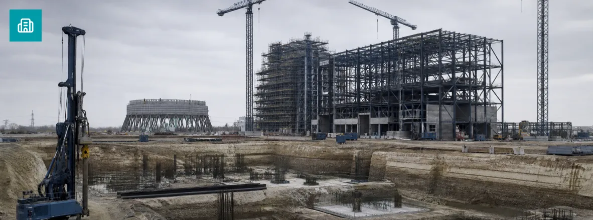
Verify what the ground actually does as earthworks and foundations go in, while a change is still cheap.
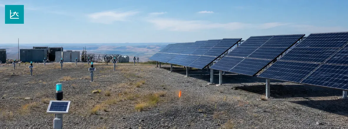
Keep watching the site after commercial operation, the phase where diligence firms have left and performance platforms never look below grade.
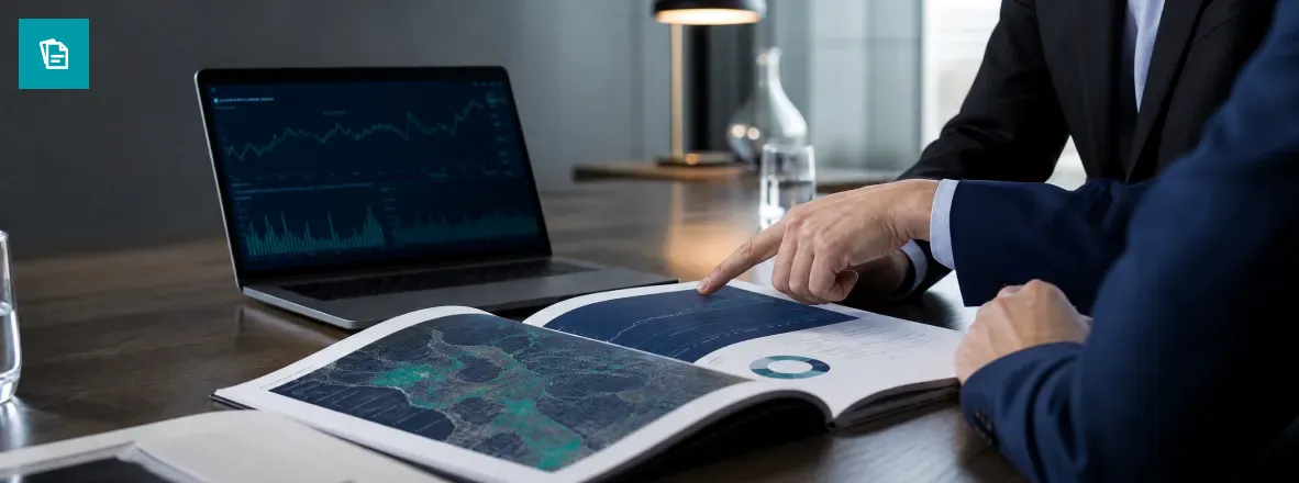
Hand underwriters and technical advisors an independent, timestamped site record for renewals and reporting.
One Site Record for Every Handover
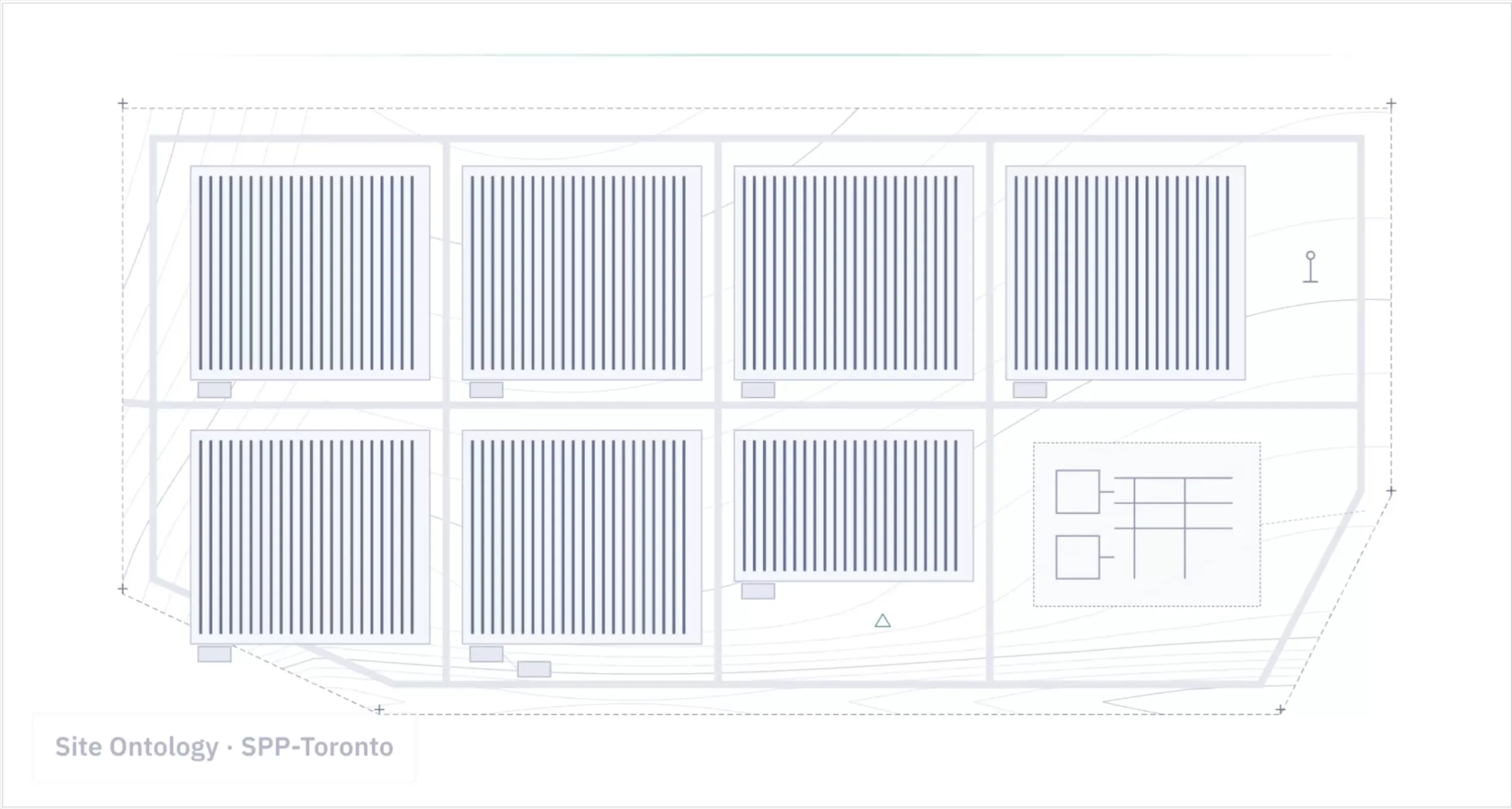
Our team runs the assessment alongside your engineers. Developer to EPC to asset manager to acquirer, the site project stays intact, current, and auditable.
01. The whole footprint, not a sample.
Hundreds of assets, screened remotely for instability backed by multi-source evidence.
02. Your data, plus what you do not have.
Your borehole logs, as-builts, inspections, and monitoring, fused with public records and our proprietary services.
03. Findings built to be defended.
Every number traces to a dataset, a date, and a processing chain, so it holds up in front of a contractor, an insurer, or a regulator.
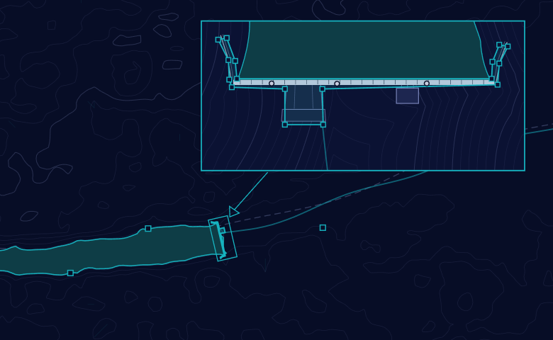
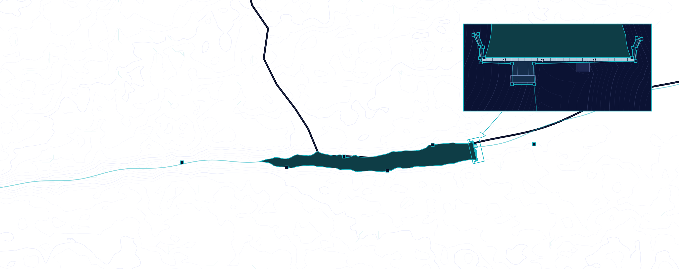


What is the structural health status of the selected reservoir walls based on monitoring and surveys in last 6 months?


Both walls sit within design tolerance. The left abutment shows 3.8 mm of settlement over 6 months against a 12 mm review threshold, and the April survey found no new cracking.


A cited structural health verdict on any asset in the scheme, with the next steps flagged.
Playbooks that Run the Routine Analysis on Auto-Pilot
Each playbook is a repeatable assessment our team tunes to your site and your obligations, returned as a cited, reviewable result.

Pile & Foundation Risk Screen


Flag soil variability and obstructions before pile crews mobilise.
Erosion & Stormwater Compliance Pack
Compile the erosion and stormwater record your permit requires.
Hail Exposure Readiness Review - Solar Plant
Test hail exposure against installed glass and stow capability.
Differential Settlement & Tracker Alignment
Track movement across rows against tracker design tolerance.
Turbine Foundation Integrity Review
Assemble the foundation record behind a life-extension decision.
Substation Flood & Drainage Exposure
Test yard grading and drainage against riverine and pluvial flood.
Wildfire Exposure & Fuel Proximity
Screen ignition exposure and fuel encroachment around the asset.
Ash Pond & CCR Impoundment Review
Track impoundment stability and seepage against permit conditions.
Dam Deformation & Safety Review Support
Assemble the evidence record behind a periodic dam safety review.
Site Baseline for Handover & M&A
Reconstruct a defensible site record before an asset changes hands.
Run a Remote Desktop Study on Your Next Energy Project.
Bring a site you are evaluating, or an operating plant that has surprised you, and we will show you how our team and TRAIL assess it.

CEO and Co-Founder

CRO and Co-Founder
Frequently Asked Questions
Can TRAIL replace a geotechnical investigation or the Engineer of Record?
No. It targets and complements field investigation, and keeps the Engineer of Record's evidence in one place. Judgment, design, and sign-off stay with the qualified engineer.
Which energy assets do you cover?
Utility-scale solar, onshore wind, power stations, hydro plants, substations and grid infrastructure, and fuel plants and terminals.
Is this just satellite ground-motion monitoring?
No. Calibrated InSAR is one input. Assessments combine your own site data with public records and our proprietary layers across ground, water, geology, hazard exposure, terrain, and adjacency.
How does this work alongside our own engineering team?
Our engineers run the assessment with yours and walk your team through each finding, so recommendations reach the people who act on them.
Can findings be used in a lender or insurance submission?
Yes. Every finding carries its source, date, and reasoning, so a third party can review it.
What happens if a site skips geotechnical investigation?
The usual outcomes are pile refusal, foundation redesign, and re-driving once crews are already mobilised. That is the most expensive moment to learn about the ground.
Do you cover dam safety for our hydro assets?
Yes, and dam and slope stability has its own dedicated workflow. Dam & Slope Stability Monitoring
Send us a message
We’ll reach out within 48 hours.


Subscribe To Our Newsletter