
Workspace for Risk Intelligence, Safety, and Compliance
TRAIL converts a site’s regulatory obligations and messy evidence base into repeatable, defensible workflows, built for mine closure, dam safety, and critical infrastructure decisions.

Ingest anything: documents, drawings, GeoJSON, satellite layers, spreadsheets, sensor feeds.
Structure them into a site ontology, so a location cell carries all of its attributes (design basis, bearing, movement, and inspection history, etc.)
Reason over the relationships, with defined scope and rules.
Flag the gaps, contradictions, and anomalies.
Output decision-ready findings, every claim linked to its source.
Ask the map a question, get data-backed answers.
Layer your site’s evidence, draw an area of interest, and query it in plain language.
Stop re-reading a hundred documents.
Drop reports, inspections, and spreadsheets, and TRAIL builds the site-knowledge you can question.
A co-worker that has read everything.
Scope the evidence, ask in plain language, and get a summary with a chart and sources.
Plot it, spot the exceedance, trace it to the reading.
Ask for visualisation with anomalies flagged.
Turn a proven workflow into a one-click automation.
Playbooks gather the right context, run structured steps, and produce an audit-ready output, the same way every time.
Every conclusion opens into the reasoning behind it.
A reasoning drawer shows how TRAIL reached an answer, then jumps to the source.
Save the analysis once. Reuse it every cycle.
Turn an analysis into a living registry or dashboard that updates as new evidence arrives.
A regulator-ready report, drafted in hours and cited line by line.
Pick a template, validate inputs, draft each section with citations, and export.
One Workspace, Applied Across High-stakes Builds.
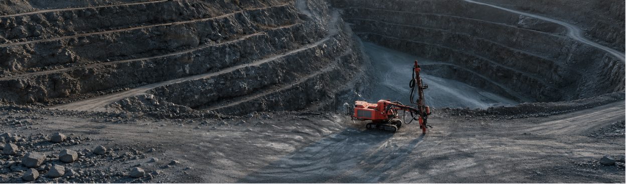
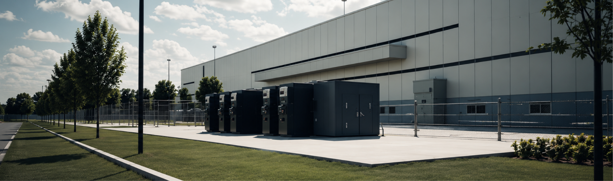
Energy and solar, dams, bridges, transport, public infrastructure, data centers.

See TRAIL on a closure or dam-safety project.
Bring a site you are wrestling with, or let us walk you through one we know well. We present you how TRAIL & our team have been helping mining and infrastructure projects.
.png)
CEO and Co-Founder
.png)
CPO and Co-Founder
Frequently Asked Questions
What is TRAIL's role in mine closure compliance?
TRAIL maps a site's obligations to the evidence that satisfies them, compiles source-linked submission packages, and flags gaps before a filing goes out. Interpretation and sign-off stay with the qualified person.
Which standards and frameworks does TRAIL support?
It helps teams organize evidence against globally recognized standards such as GISTM, ICMM, and IFC Performance Standards, alongside national dam-safety codes.
How does TRAIL use InSAR for tailings and dam monitoring?
Our GNSS-calibrated InSAR anchors the ground-truth layer. TRAIL fuses it with piezometers, inspections, and design basis to trace movement to a credible failure mode, rather than reporting deformation in isolation.
Does TRAIL replace our Engineer of Record?
No. TRAIL assembles and cites the evidence and supports review. Engineering judgment, design, certification, and regulatory sign-off stay with the EoR.
Does TRAIL cover the whole mine life cycle?
Yes. It supports operations and monitoring, closure and rehabilitation, and post-closure stewardship from one traceable evidence base.
Send us a message
We’ll reach out within 48 hours.
.webp)
.png)


.svg)