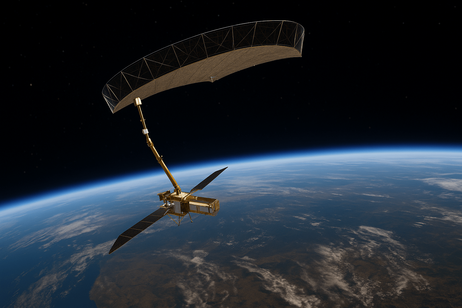
The Copernicus Sentinel-1C satellite, launched on December 5, 2024, has officially entered its commissioning phase, with its first datasets now accessible via the Copernicus Data Space Ecosystem . This milestone ensures the continuity of critical radar data for environmental monitoring, disaster response, and infrastructure stability assessments. Early products, identifiable by the “S1C” tag, are already demonstrating exceptional quality, with further enhancements expected as calibration progresses .
Restoring Global Coverage: From 12-Day to 6-Day Revisits
Prior to Sentinel-1C’s launch, the loss of Sentinel-1B in 2021 had reduced the constellation’s global revisit time to 12 days, limiting rapid-change monitoring capabilities . With Sentinel-1C now operational alongside Sentinel-1A, the system restores a 6-day revisit cycle, ensuring systematic global coverage. This is critical for applications like landslide prediction, volcanic uplift tracking, and urban subsidence mapping, where frequent observations are essential .
The 1-Day Revisit Breakthrough
ESA recently showcased the potential of cross-satellite interferometry by generating 1-day temporal baseline interferograms over Chile’s Atacama Desert using Sentinel-1A and Sentinel-1C . This technical demonstration highlights the satellites’ interoperability and opens doors for rapid deformation monitoring. While not yet part of the standard observation plan, such 1-day pairs could be prioritized for high-risk regions (e.g., active volcanoes or earthquake-prone zones) during emergencies .
Why Lower Revisit Rates Matter for Critical Infrastructure
For industries managing critical infrastructure—dams, railways, or urban developments—lower revisit rates translate to faster anomaly detection. Sentinel-1C’s 6-day cycle enables:
- Early identification of millimeter-scale ground shifts before they escalate.
- Continuous risk assessment for aging structures or mining sites.
- Cost savings by addressing issues proactively, avoiding catastrophic failures .
At KorrAI, we’re leveraging this data to enhance our AI-driven geospatial analytics platform, delivering actionable insights for clients in mining, infrastructure, and property insurance. The ability to integrate Sentinel-1C’s near-real-time data empowers use to deliver insights at unprecedented speed .
A Thank You to ESA & The Road Ahead
ESA’s commitment to open data and technological innovation has democratized InSAR capabilities. It enables companies like us to commercialize advanced monitoring solutions. Sentinel-1C, with its high resolution the stage for future constellations of smaller satellites capable of daily revisits for targeted critical infrastructure. We envision a world where critical infrastructure are monitored hourly. ESA's latest satellite makes that future one step closer.
Rahul is the CEO & Co-founder of KorrAI. A serial entrepreneur, he has previously built successful ventures in IoT and consumer internet. Today, he’s building an AI Co-worker for site due diligence, combining Earth Observation, documents, and geospatial data to transform how mining and infrastructure teams manage risk.
Subscribe To Our Newsletter
.webp)


.png)


.png)


.webp)


.svg)